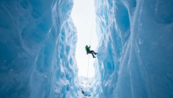
Maps lie first. Ridges drawn as solid ice now hide open voids, while safe bridges vanish between print runs, forcing climbers to treat every approach as a reconnaissance mission rather than a follow-the-guidebook routine.
The stark response is technical and almost bureaucratic. Teams pre-load high-resolution satellite imagery and digital elevation models into GPS units, then compare that data with drone footage to trace suspected crevasse fields and serac fall zones, a process that turns route planning into continuous glaciological risk assessment instead of a one-off briefing in a hut.
Yet survival still depends on slow, almost stubborn ritual. Climbers move roped, keep tight intervals, and probe with poles even when coordinates promise safe passage, because ice dynamics and latent heat flux can remodel a glacier between two device syncs, leaving only mechanical systems like knots, anchors and arrest technique to catch the human body when software is already out of date.
The most radical shift is philosophical: permanence is no longer assumed. Guiding companies now treat classic glacier routes as provisional corridors, logging every crevasse fall, drone track and GPS anomaly into shared databases, so that tomorrow’s party walks on a living archive instead of a static topographic sheet that was obsolete the moment the ink dried.