
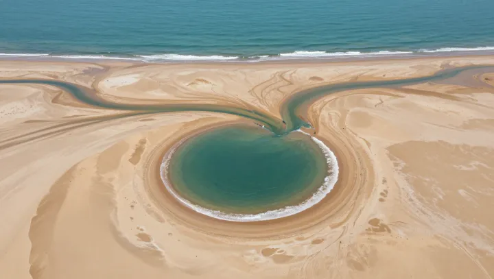
One frozen frame can be more honest than a decade of debate. From one Landsat snapshot, shattered sea ice plates, turquoise melt ponds, and braided river channels expose how warming rewires both the ocean surface and nearby shores in the same instant.
The unsettling claim is that this chaos is now measurable with surgical precision. Spectral signatures in the visible and near‑infrared bands let researchers map melt pond area, while sea ice concentration is retrieved through radiative transfer algorithms that convert brightness values into thickness classes and fracture networks. In the same pixel grid, fluvial geomorphologists track channel migration, bar formation, and shoreline retreat, tying each contour change to shifts in sediment transport and permafrost thaw.
What seems like a pretty picture is in fact a coupled experiment. As darker melt ponds lower surface albedo and intensify shortwave absorption, models of thermodynamic sea ice growth show accelerated thinning that feeds more fracturing, which in turn alters wave penetration toward the coast. Those longer waves, resolved in hydrodynamic simulations and checked against Landsat‑derived shoreline positions, chew at dunes and barrier spits while rivers rearrange their deltas. On that single scene, the ocean’s brittle skin and the coast’s sliding margins are logged as linked variables, not separate crises.