
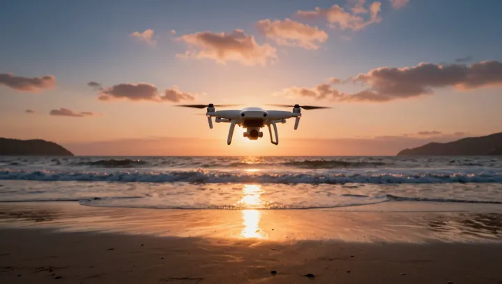
Golden light did not win this shift; geometry did. Along many coasts, drones now trace pre‑planned arcs above surf where boats once bobbed and shore crews scrambled, turning what used to be a stunt into a scheduled run with near‑identical framing each flight.
The blunt truth is that cameras barely changed while flight control did. With GNSS positioning, inertial measurement units and terrain‑following algorithms, operators lock in corridors that skirt spray yet stay low enough for resolution, then recycle those coordinates on every survey, building time‑series data instead of gambling on a single dramatic pass. Boats cannot hold that line against swell. Tripods cannot follow a collapsing dune face as tide and shadow shift.
Safety is not a side benefit; it is the business case. Insurance costs drop when no one rides a bow near breaking waves, and environmental teams can push for tighter sampling intervals without asking crews to repeat the same hazardous approach. What once demanded a director, a skipper and a weather window now often needs one pilot, airspace clearance and a battery swap, while the coastline appears in matching frames, flight after flight, like a patient on a scanner table.